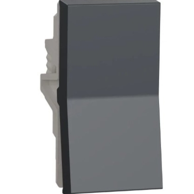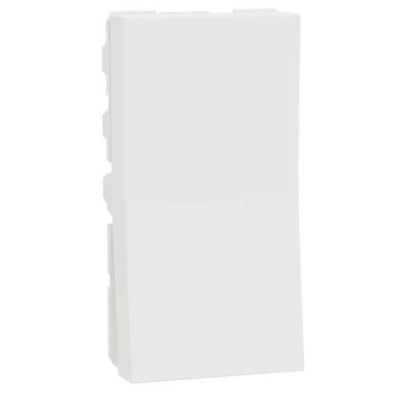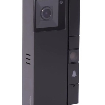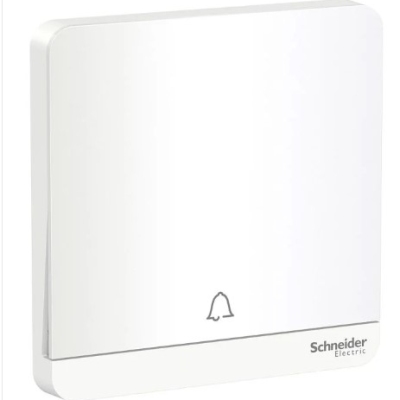


Fab Homes-Vogue simple package
₹46,099.00 (INR)
0 التعليقات
India· متاح· جديد
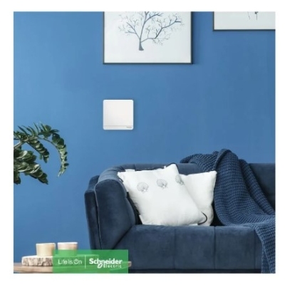
Fab Homes Package is our customized bundle offer consisting of wiring devices (switches, sockets etc.,) along with free installation by our trained electricians. This is a simple solution of products & services with a single click.
Read More - https://eshop.se.com/in/https-....shop-schneider-elect
إعجاب


علق
شارك